
Drone Search and Rescue
SAR24 integrates aerial technology, thermal cameras, geolocation systems, and reconnaissance capabilities to support search and rescue operations and emergency response in high mountains, remote areas, and difficult-to-access terrain.
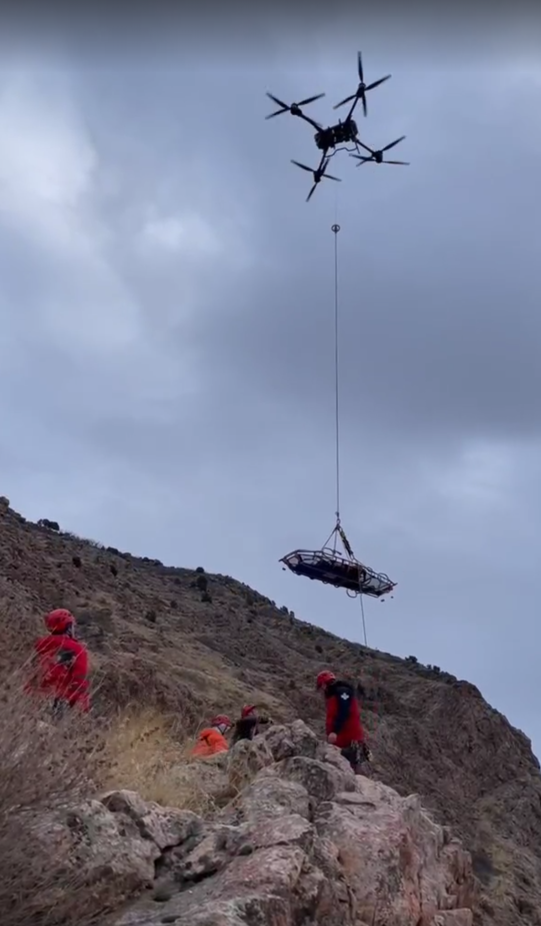
Drones provide aerial intelligence, expand search coverage, and deliver valuable information to rescue teams operating on the ground.
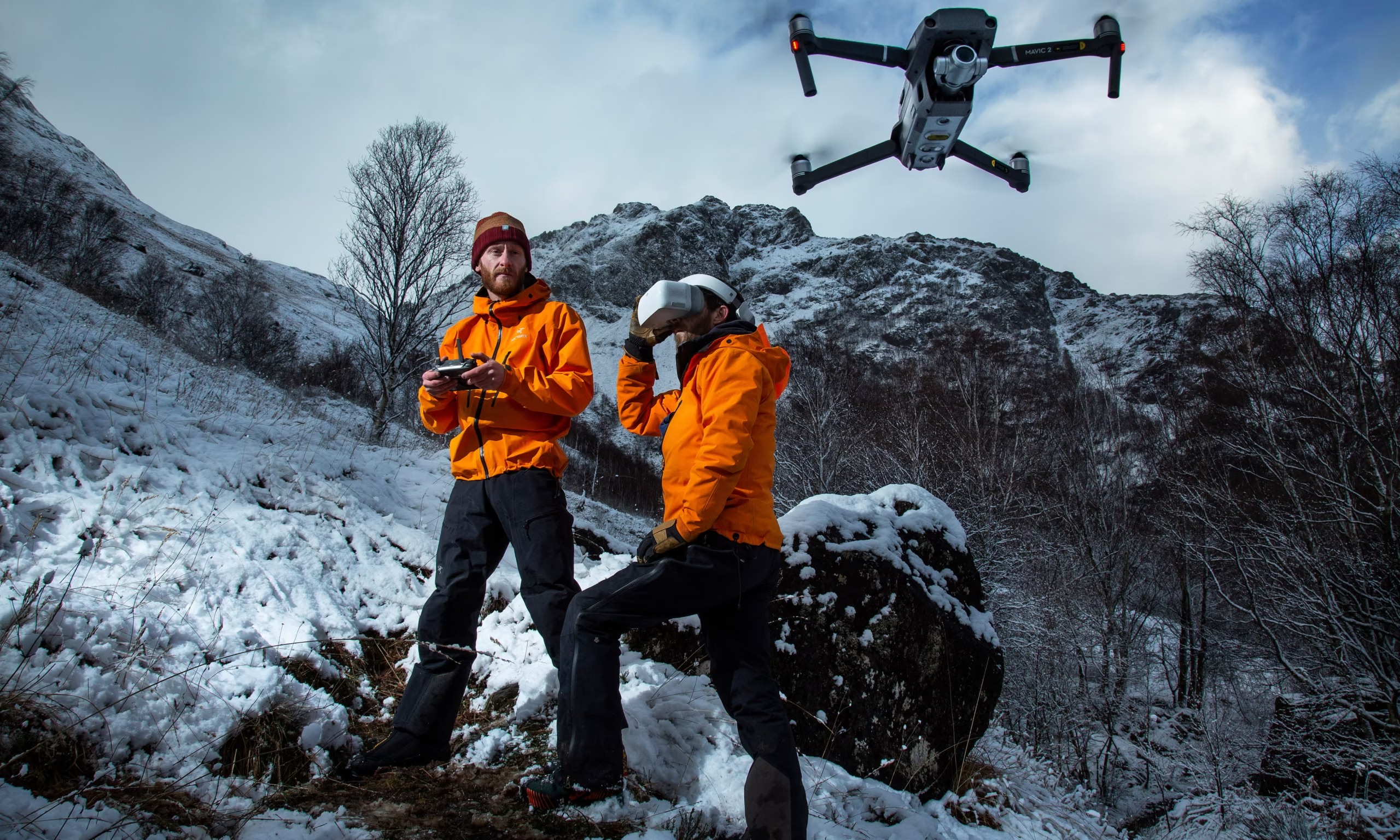
An Aerial System for Different Scenarios
Every operation presents different challenges. The platform and configuration used must be adapted to the terrain, altitude, weather conditions, search area, and mission requirements.
Thermal Imaging Cameras
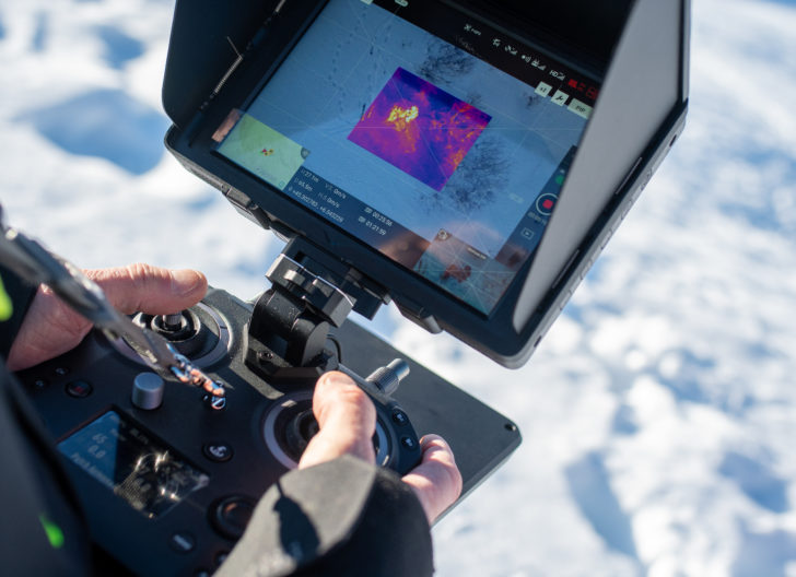
Thermal sensors detect temperature differences and help locate potential human targets under certain visibility conditions, including during nighttime operations.
Geolocation
Positioning and measurement systems provide geographic references to identify points of interest and guide ground teams.
Aerial Reconnaissance
High-resolution cameras and zoom systems allow large areas of terrain to be surveyed and potential targets assessed before deploying ground resources.
High-Altitude Mountain Environments
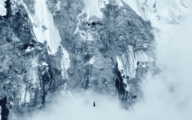
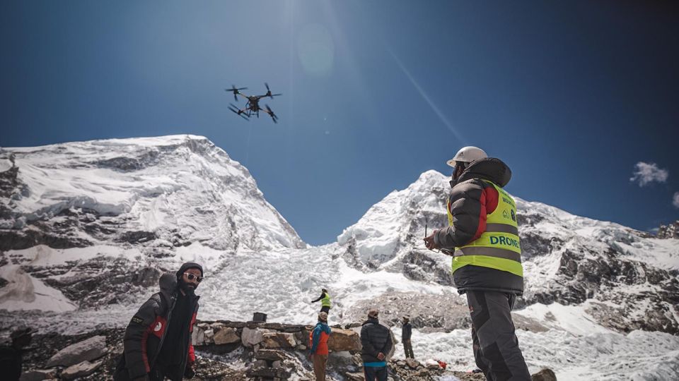
Platforms can be deployed in mountains, valleys, glaciers, mountain passes, and remote areas, always taking operational conditions into account.
Target Location
Visual, thermal, and positioning data can help identify priority search areas and provide reference points for search teams.
Ground Team Support
Aerial data can be shared with rescuers to improve coordination, risk assessment, and intervention planning.
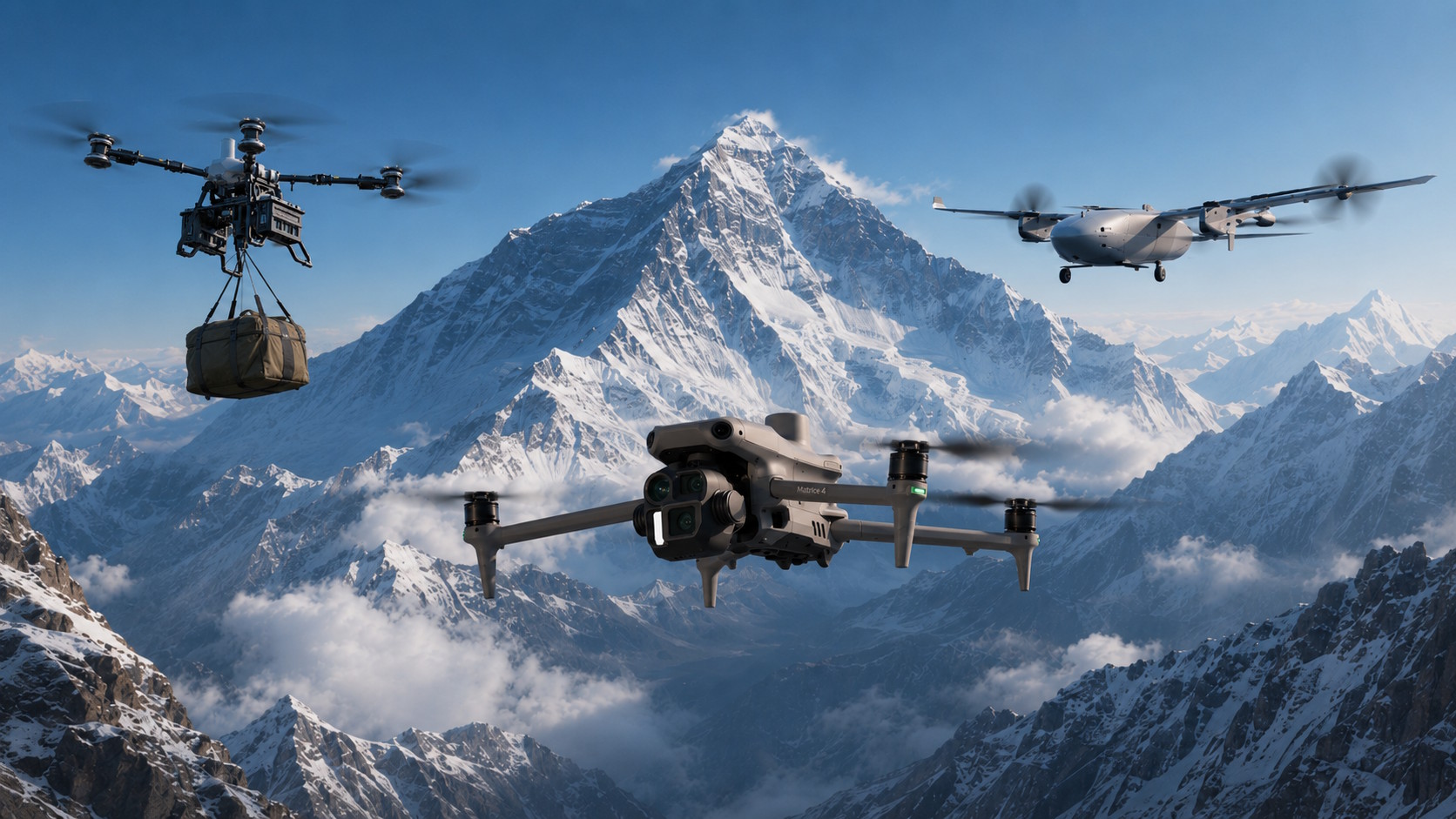
Aerial Intelligence to Support Search Operations
In extensive, remote, or difficult-to-access terrain, aerial reconnaissance provides a broader view of the surroundings and delivers additional information to rescue teams.
- Rapid reconnaissance of large areas.
- Identification of potential points of interest.
- Collection of visual and geographic references.
- Preliminary assessment of routes and access points.
- Support for ground-based rescue teams.
Different Drones for Different Missions
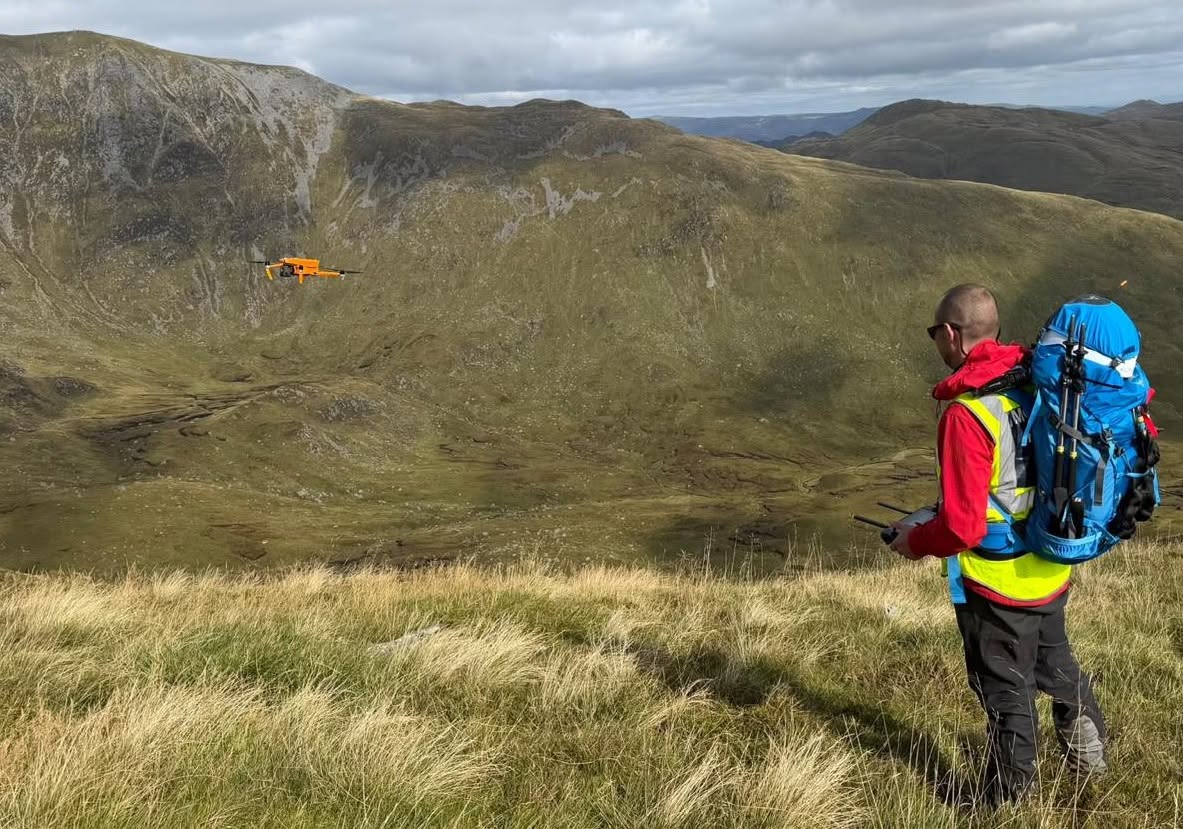
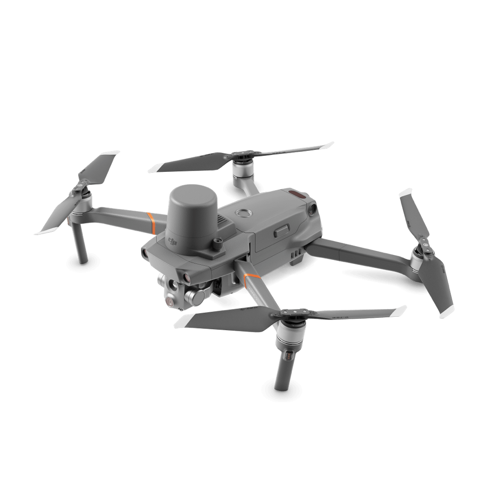
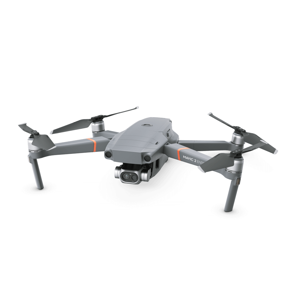
SAR24 can deploy different aerial platforms depending on the characteristics of each operation, terrain, altitude, expected flight duration, and required sensors.
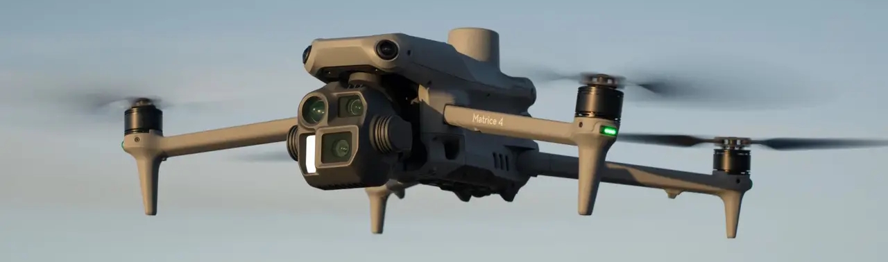
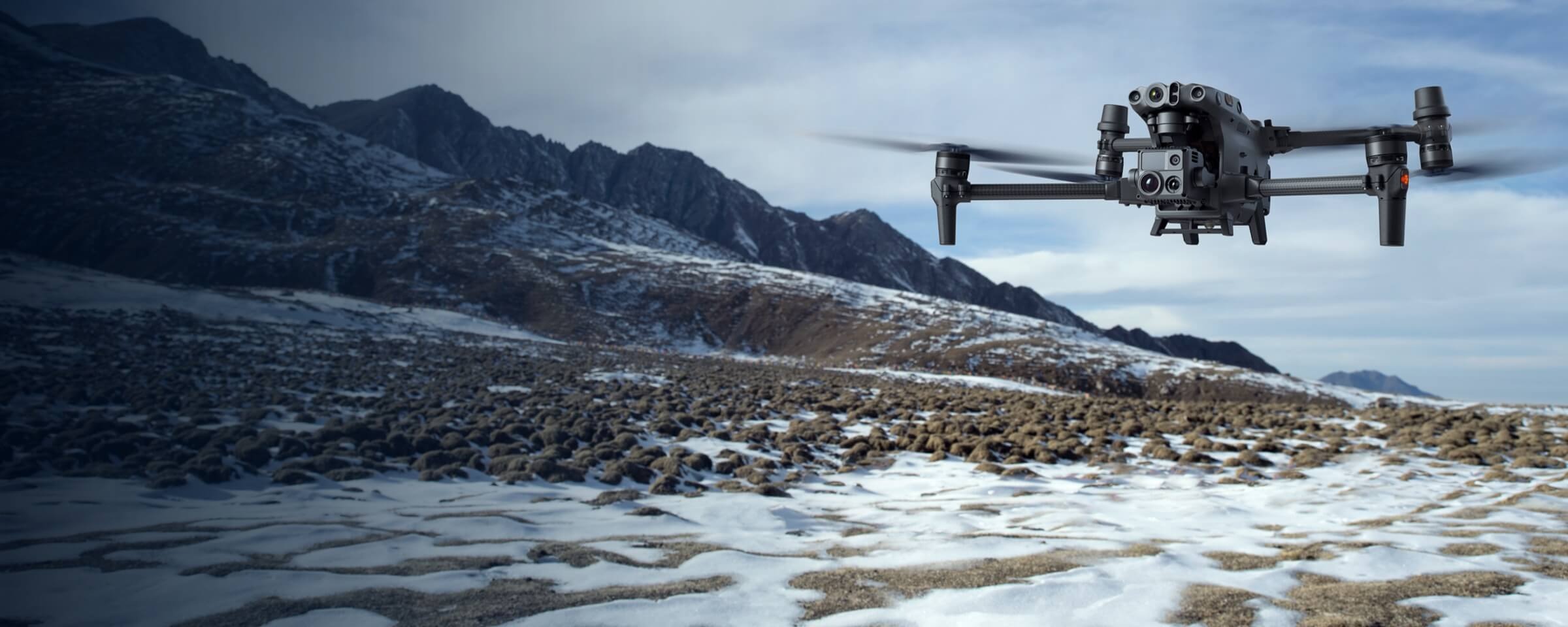
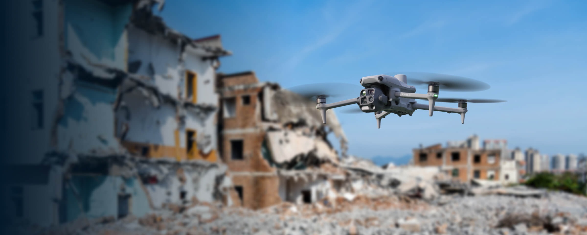
DJI Matrice 4T
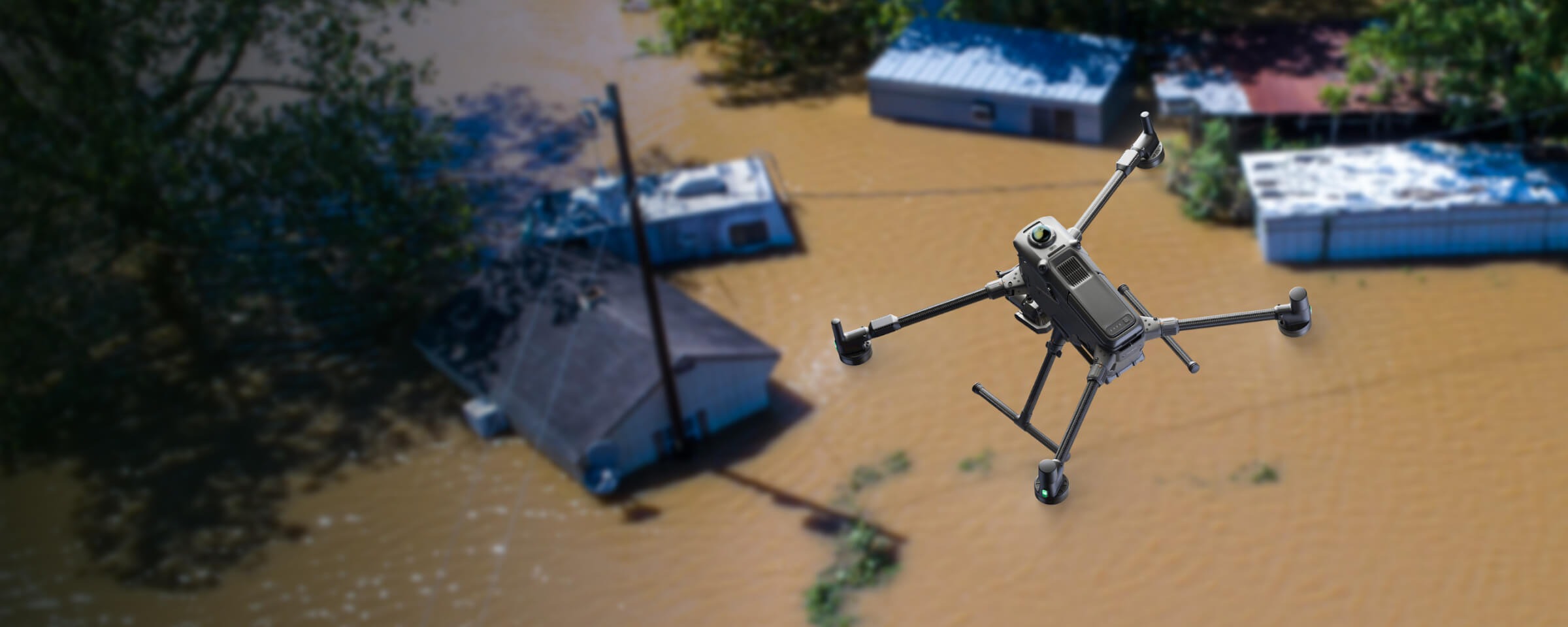
A compact platform designed for aerial reconnaissance and search operations, featuring visual and thermal imaging, zoom, and measurement capabilities.
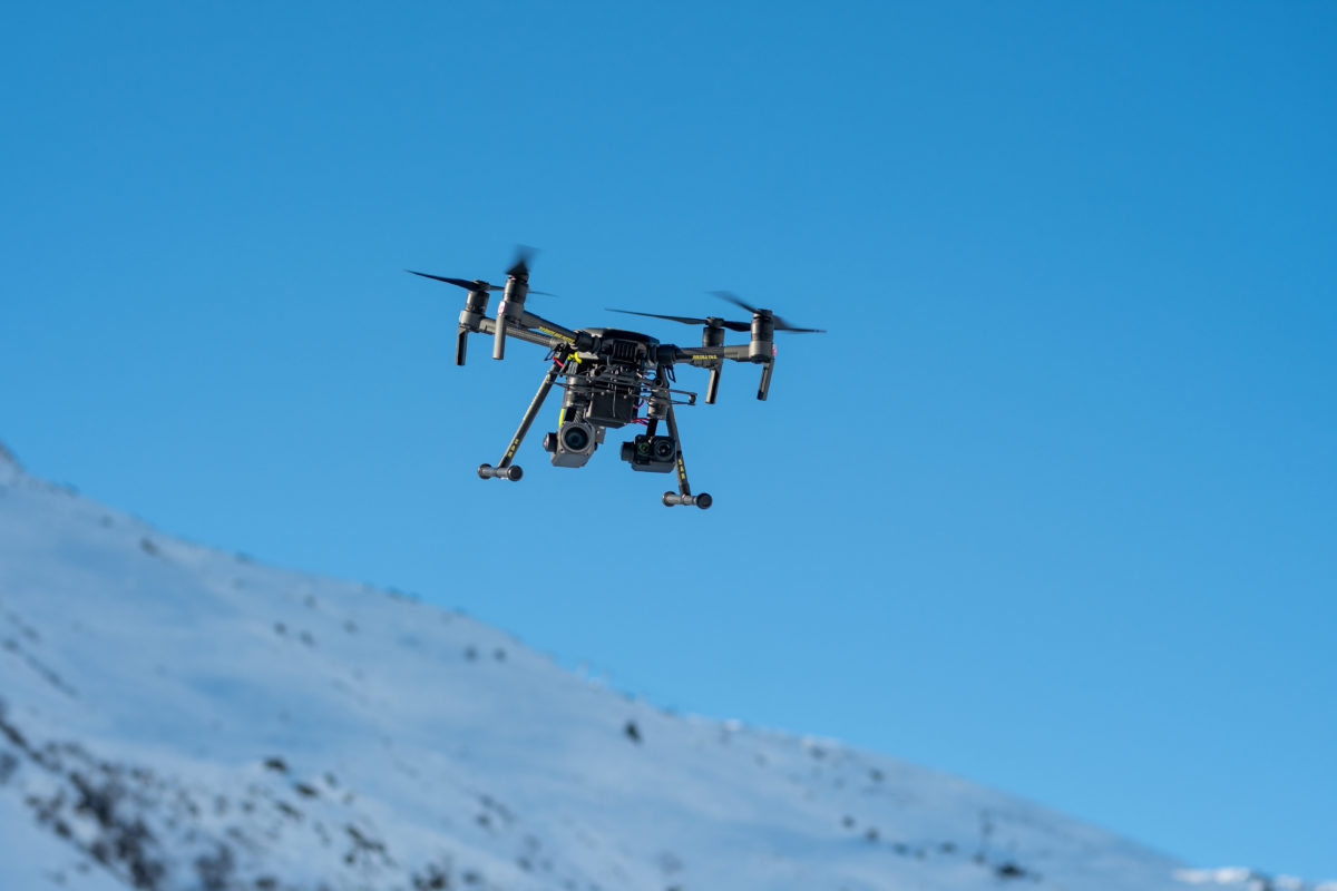
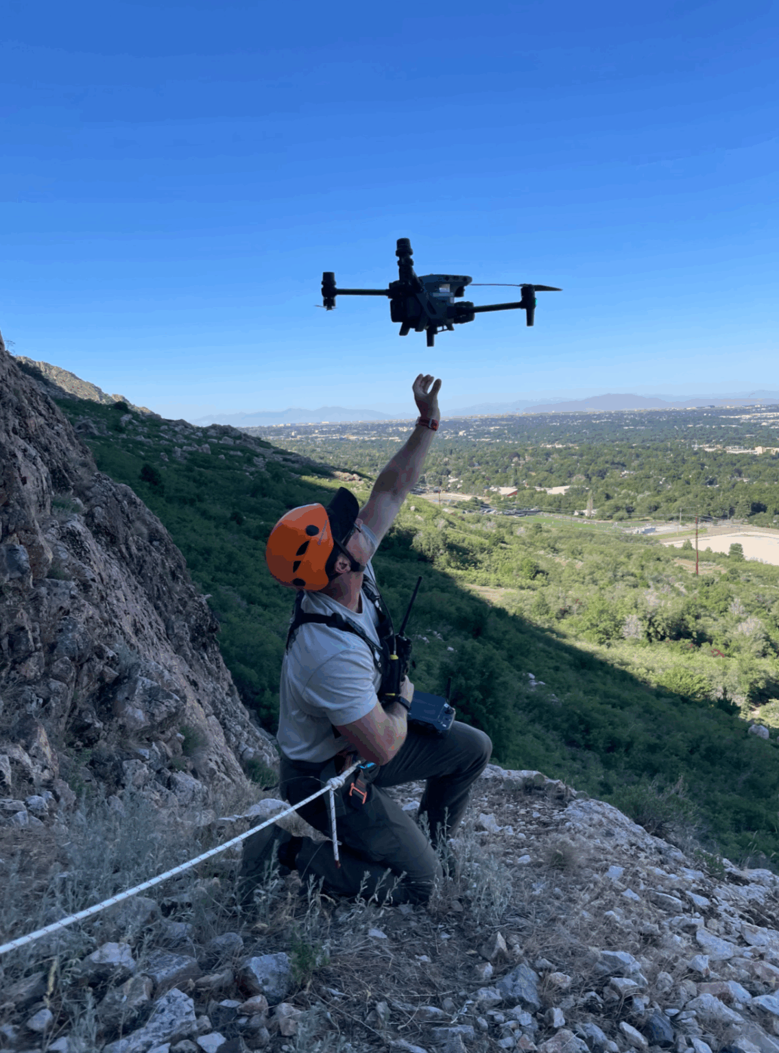
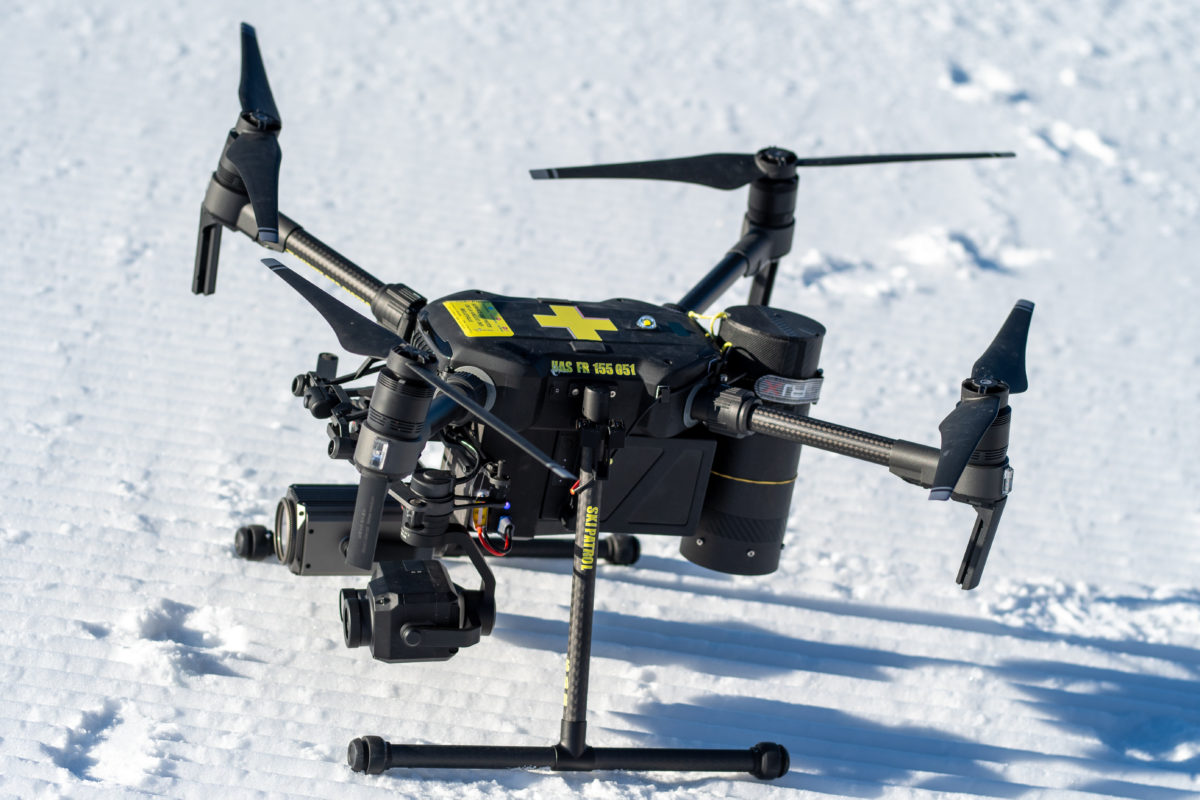
DJI Matrice 30T
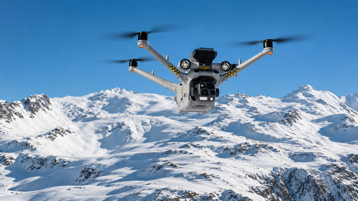
A rugged platform for search, reconnaissance, and emergency assessment in remote and high-altitude mountain environments.
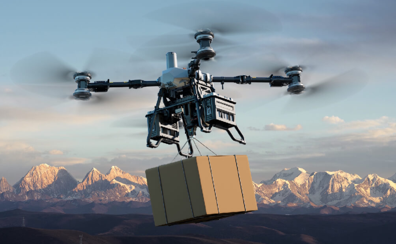
DJI Matrice 400 + Zenmuse H30T
A multipurpose platform designed for missions requiring greater flight endurance, payload capacity, and multiple observation systems.
Zenmuse H30T
RGB camera, zoom, infrared thermal sensor, auxiliary illumination, and laser rangefinder to support a variety of observation scenarios.
Search Mission Workflow
Drone deployment is part of a coordinated operation. Aerial intelligence is integrated with teams, communications, GPS, and search and rescue procedures.
Planning
The last known location, possible routes, priority sectors, and areas of interest are analyzed.
Reconnaissance
The drone flies over designated sectors using routes or flight patterns adapted to the terrain.
Visual Search
Operators analyze images to identify potential people, objects, or other clues.
Thermal Search
When the platform is equipped with a thermal sensor, temperature data is used to support search activities.
Geolocation
Points of interest can be recorded and communicated as reference locations for rescue teams.
Coordination
Images, coordinates, and reference points can be shared with authorized ground teams.
Communication
When the system and operating conditions permit, speakers and lighting can be used to support operations.
Rescue Support
Aerial intelligence helps guide access routes and support the intervention of SAR teams.
Mission Control and Management
DJI Pilot 2
A platform used to control and operate the aircraft throughout the mission.
DJI FlightHub 2
A mission management and coordination system that allows search areas to be planned, aerial intelligence to be visualized, and data to be shared with authorized teams.
Aerial Technology in the Service of Search and Rescue
SAR24 integrates aerial capabilities, technology, and specialized personnel to support operations in high-altitude mountain environments, remote areas, and difficult-to-access terrain.
Where Can SAR Drones Provide Support?
Missing Persons
Reconnaissance of search sectors and support in locating missing persons.
Route Reconnaissance
Aerial assessment of routes, mountain passes, and difficult-to-access areas.
High-Altitude Mountain Environments
Support in mountains, valleys, glaciers, and remote terrain.
Night Operations
Use of thermal imaging systems and lighting when operating conditions permit.
Emergencies
Reconnaissance and assessment of areas affected by emergency situations.
Points of Interest
Identification and georeferencing of potential targets to help guide the response.